UltraCam Osprey 4.1 – New Perspective on 3D Areal Mapping
Vexcel Imaging, a leader in the geospatial industry, has a long history of innovation in aerial and terrestrial mapping.
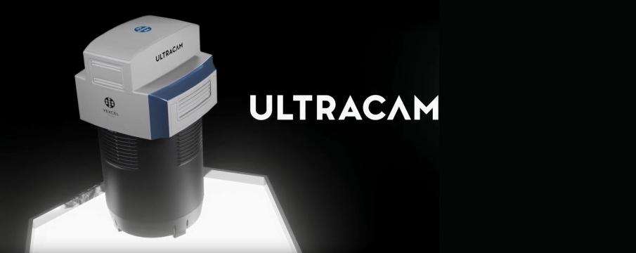
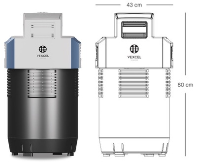
Their latest addition to the portfolio, called UltraCam Osprey 4.1, is taking flight collection efficiency at superior radiometric and geometric quality to new heights.
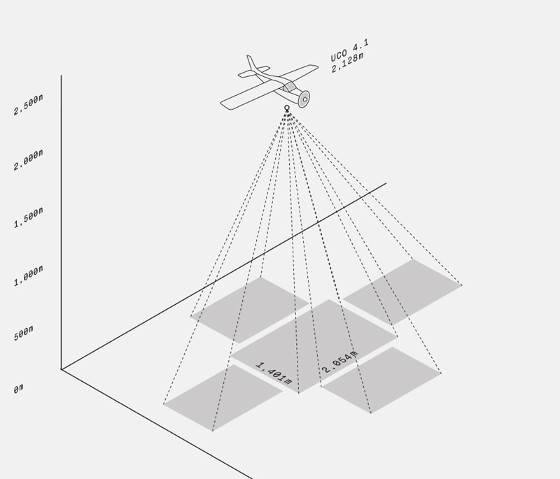
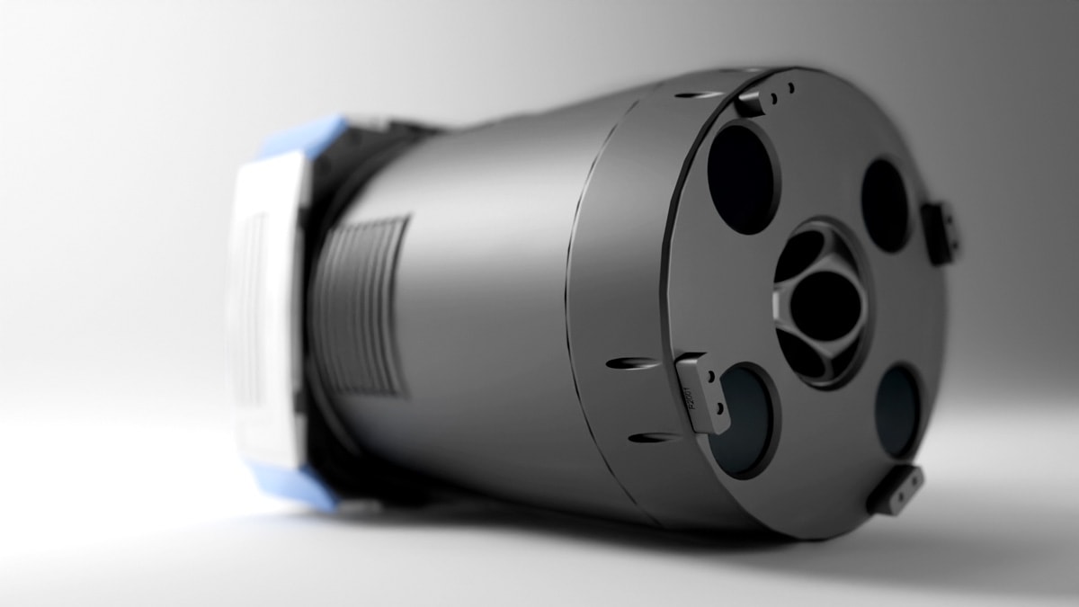
This highly versatile large-format aerial camera combines photogrammetric-grade nadir imagery (PAN, RGB and NIR) and oblique (RGB) image capability.
Thus, it can serve both the photogrammetric applications as well as city mapping with a set of sensors able to collect 1 Frame (1.2 Gigapixels) every 0.7 seconds.
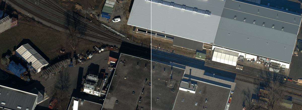
The impressive quality of the pictures was achieved by integrating a brand-new high-resolution CMOS based sensor equipped with custom electronics.
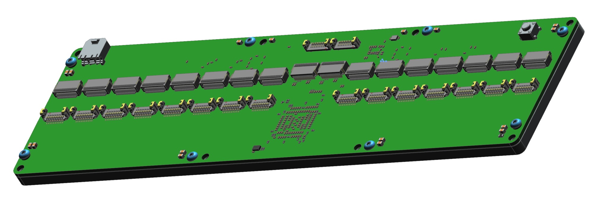
To handle the full potential of the sensor, the company needed to completely overhaul the data transmission concept from the sensors to the computer.
Here is where XIMEA's expertise in high speed interfaces and skills in rapid customization helped increase the data transfer 10 times compared to previous systems.
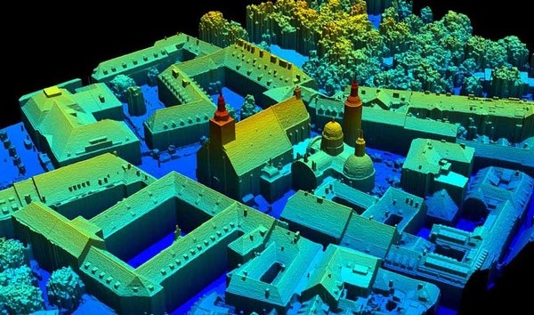
The collaboration between the two technology leaders pushes the urban mapping and 3D city modeling further, aiding to explore the world around us.