Discover the future of geospatial imaging
Join us at INTERGEO to learn how our cameras are powering the next generation of solutions for mapping, surveying, UAV imaging, and 3D spatial data capture. Built to deliver precision, speed, and reliability in even the most challenging environments, our technology is used in everything from airborne systems to mobile platforms.
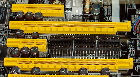
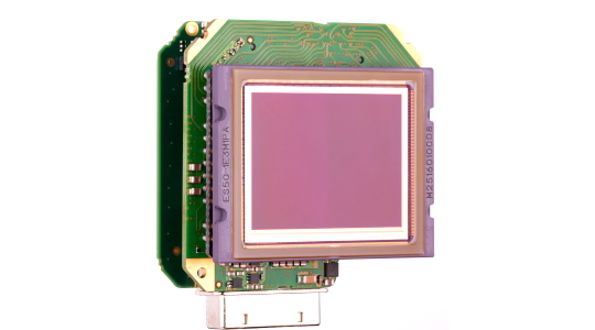
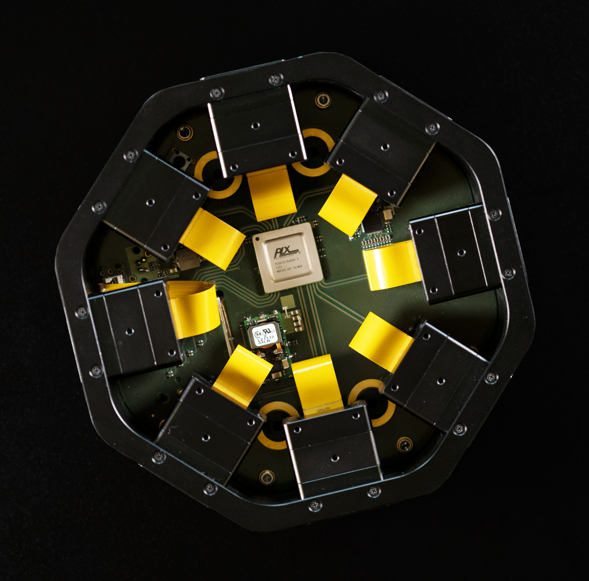
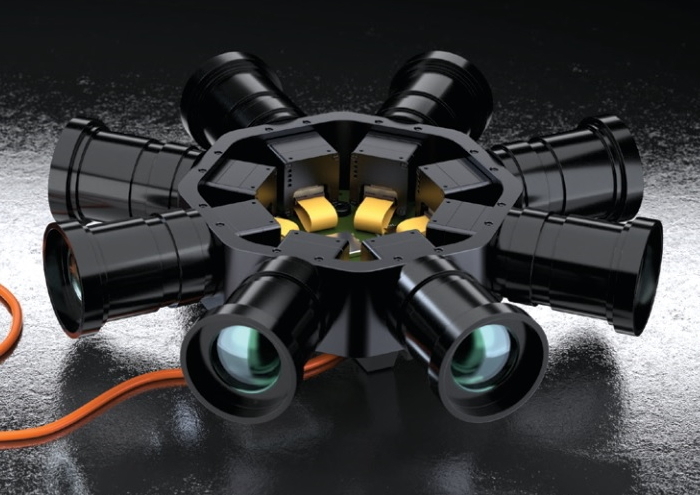
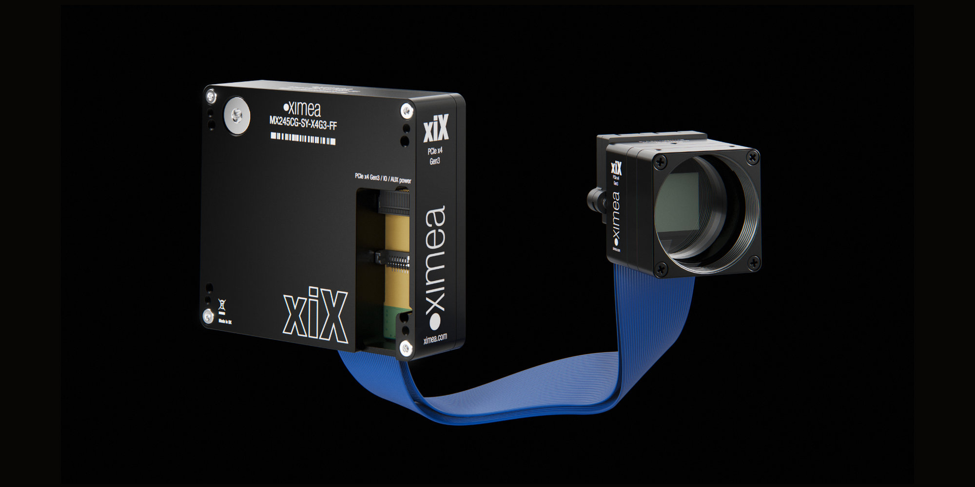
Whether you're creating high-resolution digital twins, integrating advanced vision systems into drones, or developing real-time GIS workflows, our camera systems are designed to support complex, multi-sensor setups with ease. With global shutter sensors, hardware-level synchronization under one millisecond, and high-throughput data streaming via PCIe or USB3, XIMEA systems are optimized for performance, flexibility, and scalability.
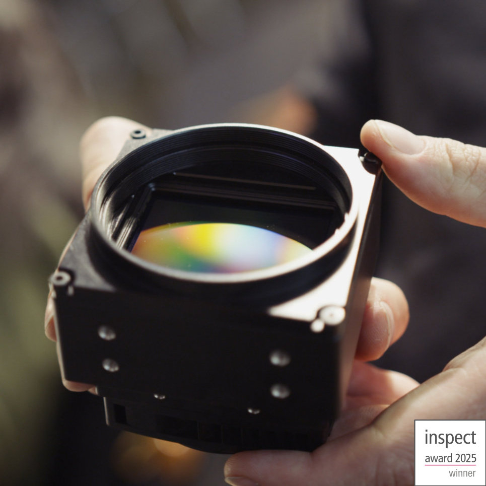
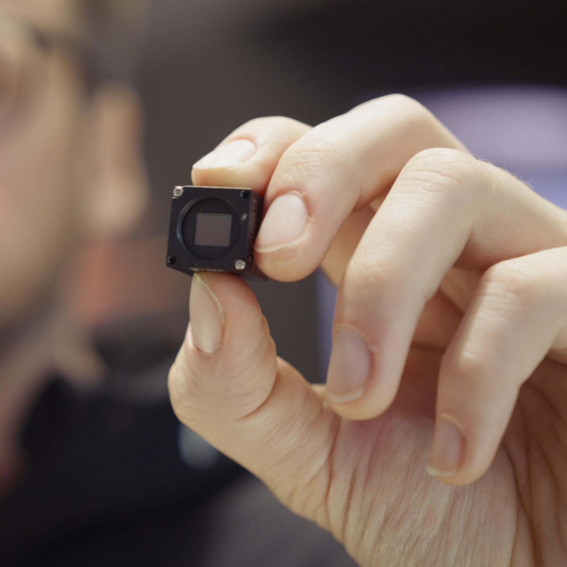
At INTERGEO, we’ll present compact, modular solutions, including cameras with detached sensor heads, ultra-high-res imaging modules, and fully integrated systems for photogrammetry, and real-time 3D processing.
Step into a new era of geospatial imaging powered by XIMEA.